Hot 3-summit tour to the Notkarspitze
The best weather was announced. Hot it should be. Which meant to get up early so I could escape both, the greatest heat and the expected masses of hikers on the mountain, during my the ascent to the summit. Also plenty of water (2x 1,5l + 1x 0,75l) had to be packed and carried along, because on this tour there are no huts where I could have provided myself with liquids, if necessary.
To say it right away: The heat was totally bearable, even though the amount of water I took along wasn’t enough. So I had to walk the last miles (2) in the valley back to my car with upcoming thirst. Also the expected masses of hikers stayed away. Probably it’s the length of the tour as well as the absense of any kind of huts on the way, which is responsible for not too may hikers going this tour. Nice 😉
Already at 7:40 am I arrived at the parking lot Ettalsattel (€3/day payable at an ATM – so don’t forget to take change along! – including a mobile restroom). Approximately 25-30 cars can park there and the parking lot was almost half full already.
After finishing packing my backpack and storing away my fleece jacket which I already didn’t need anymore, I started off at almost 8 am sharp. A few steps after leaving the parking lot I got to a gravel road/track which I followed to the left for about 3/8 of a mile. There in a sharp right turn, I turn even sharper right and follow the steep path up into the forest.
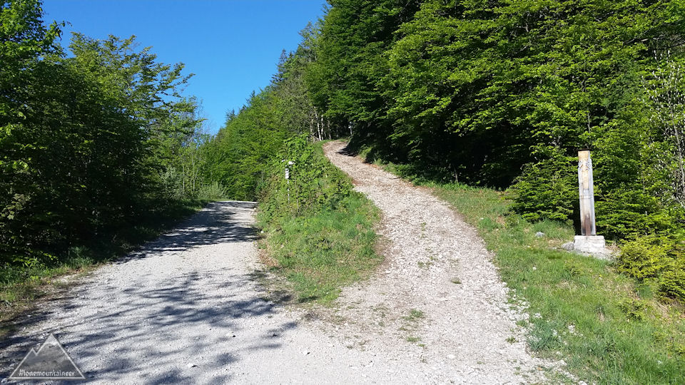
Through the dense mountain forest the steep path leads for about one hour constantly steep uphill. Shortly before the first milestone, the Ochsensitz (4970 ft.), I reach a larger clearing.
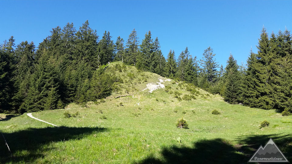
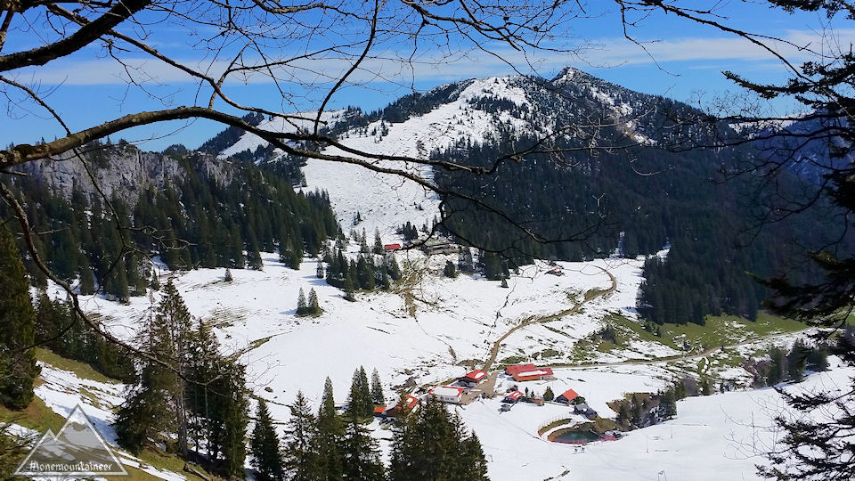
The actual path does not lead directly over the Ochsensitz, but rather a little south and underneath past the Ochsensitz. But there is also an alternate path, which leads directly to the Ochsensitz. Of course I gloriously missed the fork, and realized a little later that I must be just passing by the Ochsensitz. A short glance at my mobile phone confirmed that. But it also showed me that continuing on this path for maybe 50 yards and then backtrace the alternate path was the better way to go now to reach the Ochsensitz. The Ochsensitz is easily recognizable marked with a plain wooden cross and offers a breathtaking view onto the Ettal Abbey,
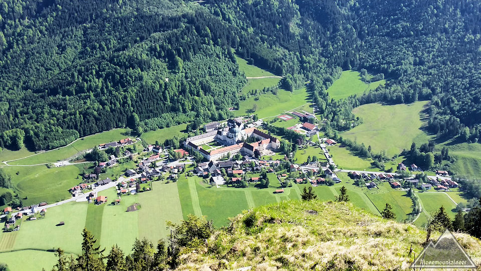
as well as a great panoramic view of the surrounding mountains.
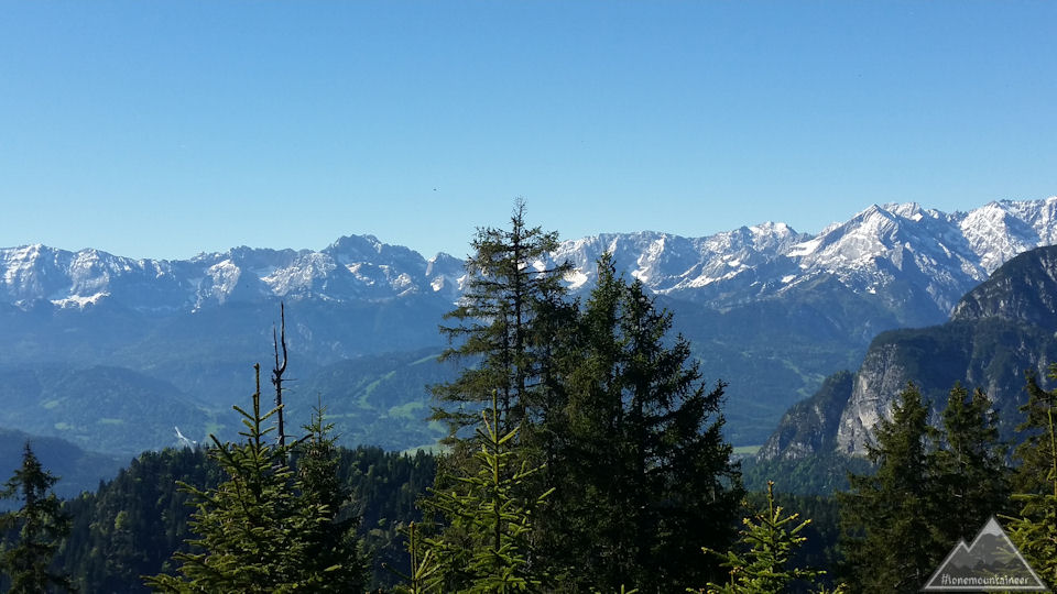
From the Ochsensitz I continued to the about 700 ft higher Ziegelspitz (5640 ft.). On the way I took a first rest with best view of Garmisch-Partenkirchen and the Wetterstein mountains with the Zugspitze.
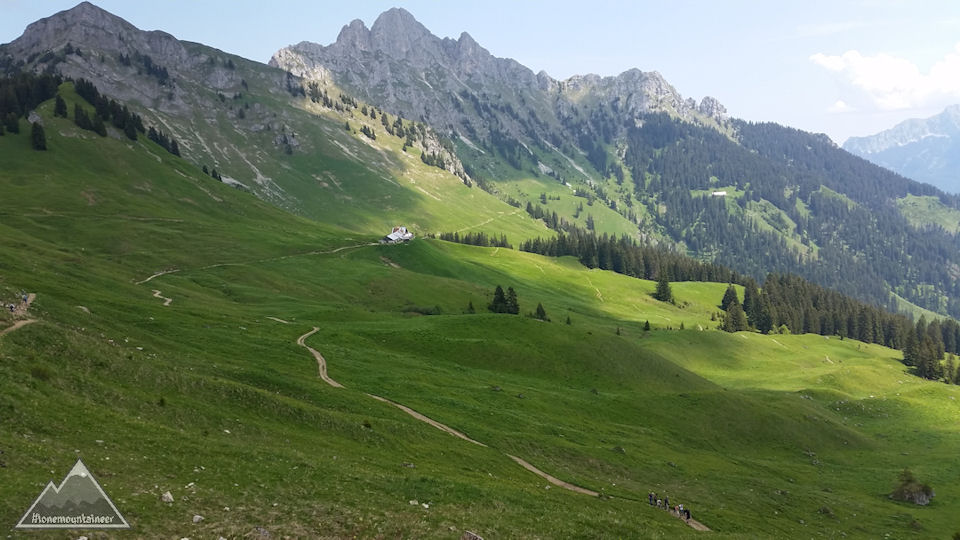
Beginning with the last ascend to the Ziegelspitz you only walk between low-growing slips, so that I didn’t have any protection by trees from the sun anymore, but on the other side I could almost undisturbed enjoy the fantastic panorama (towards south the Wetterstein mountains and towards north and west the Ammergauer Alps).
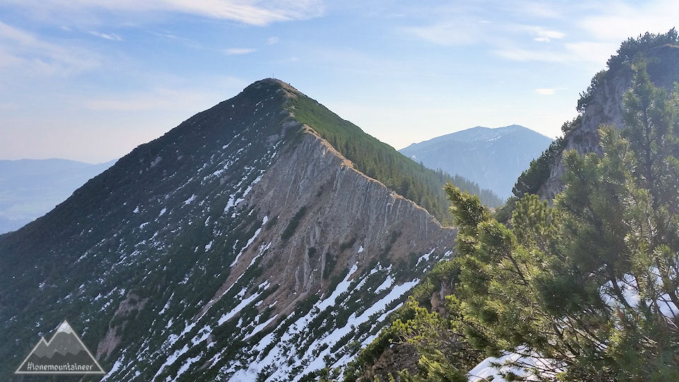
Once you arrive at Ziegelspitz you can already see the rest of the way to the Notkarspitze (6198 ft.)
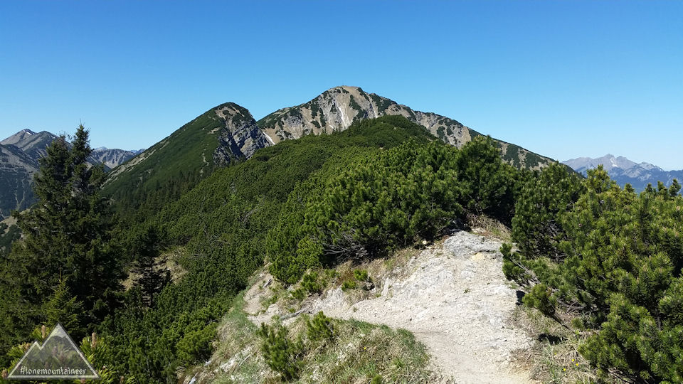
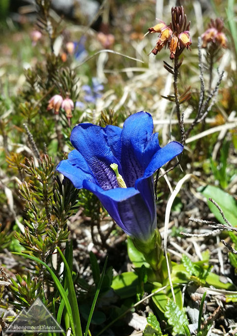
Shortly after leaving the Ziegelspitz I came across my first gentian of the year.
At about 11:35 am I arrived on the Notkarspitze. A few hikers rested already on the broad grassy summit, so that you never got the feeling of the summit being full – opposite to beginning of April on the Brecherspitz. After extensive fotografing in all directions, I decided for another rest, before I would start my descend which has been described as difficult and at spots even dangerous.
Offering nice views on the barren, rugged north side of the ridge, it the path lead actually quite steep downhill.
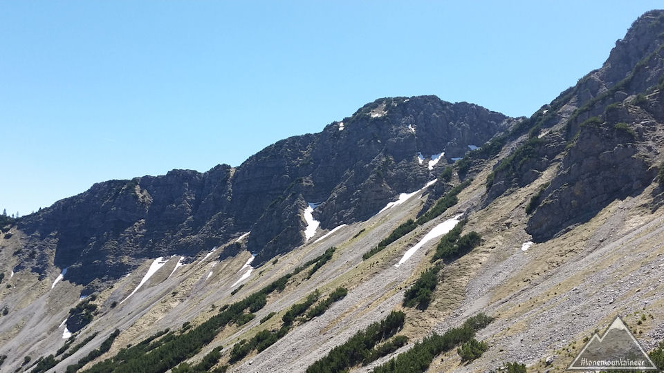
The path was covered with fairly loose, coarse gravel, which again and again meant that the seemingly safe stand was not quite as safe as I thought, so that despite all the caution I occasionally slipped a bit. Which led to the fact that I was only progressing slowly, as at almost every step I had to make sure my stand was safe and I could only make small steps because of the steepness. Just before I came into the – initially sparse – mountain forest, I went past a large, beautiful cowslip meadow.
But also in the forest it was very steep with sometimes almost vertical slopes right next to the trail. Here I finally came to the dangerous, rope-secured passages, which you wouldn’t perceive as difficult or even dangerous when going uphill, but on the descent, and especially with about 5 hours of hiking in the legs, I was nevertheless very grateful for the rope safeguards.
And on it went downhill. Just, whenever I had an unobstructed view into the valley, it always seemed to me as if I had not made any progress towards the valley at all. Only the slowly increasing louder motorbike noise, which sounded up the mountain, made me believe that I would still somehow get down in the valley.
When I finally arrived in the valley, I still had to – in the meantime thursty and without any more drinking water – return alongside the forest and past Ettal back to the parking lot at the Ettaler Sattel (ca. 2 miles).
At around 2:45 pm I arrived happily at my car.
A – at least with such a weather – fantastic, even though long and due that exhausting, tour. Whether I would choose the same descent again, or bite into the sour apple and take the same path as for the ascent also for the descent I would probably make very dependent on the weather. At the slightes chance, that the rock could be wet and slippery I would always prefer the “Normalweg” also for the descent. As, first of all the views are a lot better on the path along the ridge, and secondly “safety first” and just going a circular route for the sake of going a cirular route doesn’t make much sense to me 😉
